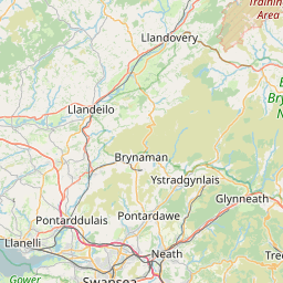
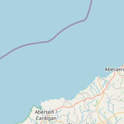
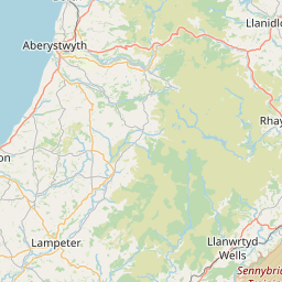
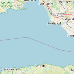
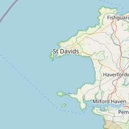
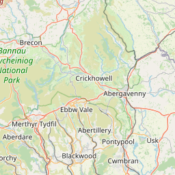
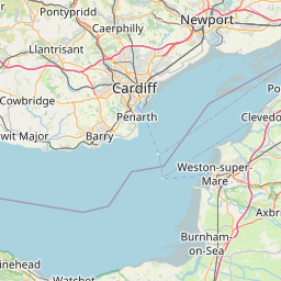
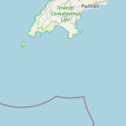
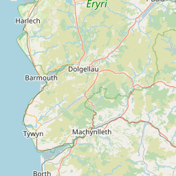
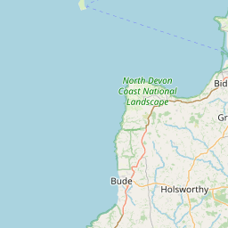
www.sportdistancecalculator.com
Center the map and adjust the zoom level to see your route at the best.
+
−
Maps - OpenStreetMap
Cycle - CyclOSM
Cycle - OpenCycleMap
Topo - ERSI
Satellite - ESRI
Topo - USGS
Satellite - USGS
20 km
10 mi
Leaflet
|
Service ©
openrouteservice.org
| Map data ©
OpenStreetMap
Edit the route name below:
NTN4
[
323683
m -
354110
yd |
323.68
km -
201.13
miles ]
You can add some notes: