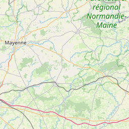
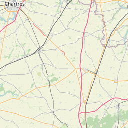
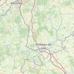
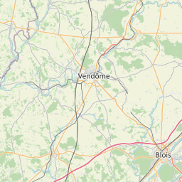
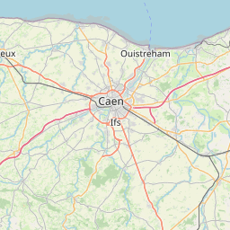
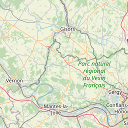
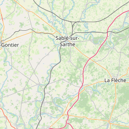
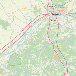
www.sportdistancecalculator.com
Center the map and adjust the zoom level to see your route at the best.
+
−
Maps - OpenStreetMap
Cycle - CyclOSM
Cycle - OpenCycleMap
Topo - ERSI
Satellite - ESRI
Topo - USGS
Satellite - USGS
20 km
10 mi
Leaflet
|
Service ©
openrouteservice.org
| Map data ©
OpenStreetMap
Edit the route name below:
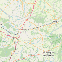
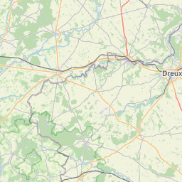
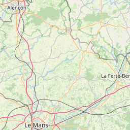
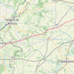
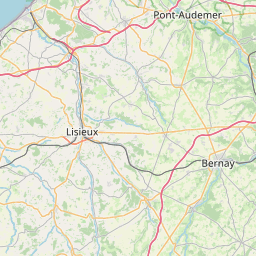
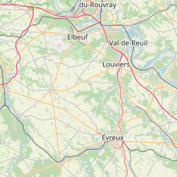
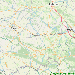
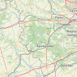
PBP1
[
202057
m -
221050
yd |
202.06
km -
125.55
miles ]
You can add some notes: