www.sportdistancecalculator.com
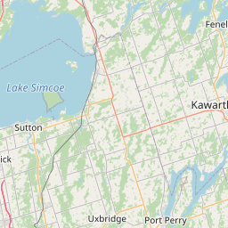
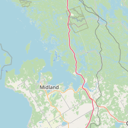
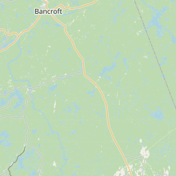
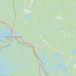
Center the map and adjust the zoom level to see your route at the best.
+
−
Maps - OpenStreetMap
Cycle - CyclOSM
Cycle - OpenCycleMap
Topo - ERSI
Satellite - ESRI
Topo - USGS
Satellite - USGS
20 km
10 mi
Leaflet
|
Service ©
openrouteservice.org
| Map data ©
OpenStreetMap
Edit the route name below:
Ra(il trail)ge A(l)g(onquin)ainst the Dying Light
[
262473
m -
287145
yd |
262.47
km -
163.09
miles ]
You can add some notes: